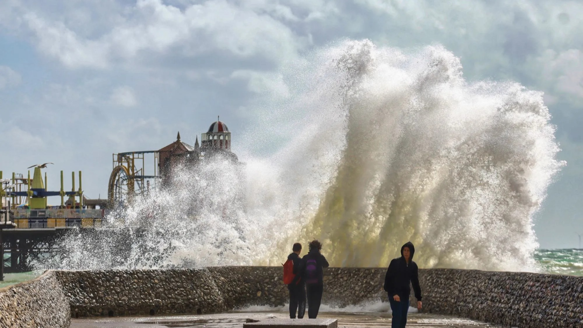
The Met Office has issued a yellow weather warning covering most of England and Wales, as gusts of up to 70 miles per hour (mph) are expected to strike exposed coastal and elevated areas beginning this evening and continuing through the following day. The alert is set to last 22 hours—from 8:00pm tonight until 6:00pm Monday—with authorities advising the public to prepare for wide ranging disruptions.
Forecast and Geographical Spread
A low pressure system moving in from the Atlantic is pushing in strong southwesterly winds. Inland areas are forecasted to experience gusts between 45-55 mph, especially across flatter terrain, while coastal regions and uplands—such as parts of the South West, Wales, the East and West Midlands—should brace for 60-70 mph, particularly near cliff edges and exposed roadways.
The warning covers cities including Manchester, Leeds, York, and Hull, with rural districts and hills facing the most severe impact. Coastal towns are expected to bear the brunt, particularly through high seas, large waves, and potential spray.
Risk Areas and Vulnerabilities
Coastal areas and elevated terrain are most at risk—not just from high winds, but also from secondary effects like sea spray, wave damage, and cliff erosion. Properties in these zones, especially those close to shorelines, must be ready for flooding risk and flying debris.
Power infrastructure is another concern. Strong winds often damage overhead power lines or knock down trees onto them, leading to power outages. Authorities are cautioning residents to have torches, spare batteries, and mobile phone power banks on hand. The yellow warning implies disruptions are “likely,” but extreme inshore damage is considered “possible, yet not certain.”
Transport Disruption Likely
Travel is expected to be significantly impacted. Major road networks, especially bridges and high routes, could see closures or cautions. High-sided vehicles are at particular risk under such wind conditions. Authorities are advising drivers to check updates, avoid planning unnecessary journeys, or if travelling to allow extra time.
Rail services may face delays or cancellations—especially in exposed sections where debris, falling trees, or objects can block tracks. Coastal ferry services may also be disrupted or suspended for safety. Airports could experience turbulence and potential delays in flight schedules. Commuters and travellers are urged to monitor local reports.
Precautions and Advice from Authorities
The Met Office and other agencies have issued advice to residents and councils:
- Secure loose outdoor items like garden furniture, bins, trampolines and tents to prevent them being blown into dangerous zones.
- Avoid walking or driving near cliffs or coastal paths during peak wind periods. Spray and waves can make these areas extremely hazardous.
- Keep communication devices charged and have emergency contact numbers handy. Spare power sources like power banks are encouraged.
- Monitor weather forecasts closely via trusted outlets; warnings can upgrade or shift as conditions evolve.
- Be ready for disruptions to utilities—such as power, water, or communications—and know who to contact locally.
Impact on Communities
For many residents, especially in coastal villages and exposed regions, this is more than an inconvenience. Homes close to the shore may deal with structural damage or flooding. Businesses reliant on coastal tourism or waterways may find operations severely disrupted.
Local councils in Wales and across the West and East Midlands are already mobilising emergency response teams, checking drainage systems, trimming vulnerable trees near roads and power lines, and preparing to respond to road closures or localized flooding.
Schools near the coast or in flood-prone or high wind-risk zones may delay or alter opening times, especially where access roads are exposed. Parents are being urged to check with local authorities. Transport bodies are issuing route advisories and some public services may be adjusted.
Historical Context and Climate Patterns
Meteorologists note that strong wind warnings of this scale are increasingly frequent in the UK as climate change intensifies the severity and unpredictability of weather systems. Storms that once would have been exceptional are now edging toward annual patterns. Comparable warnings earlier this year have led to disruptions across sectors and renew renewed focus on infrastructure resilience.
Over recent years, authorities have improved early warning systems, invested in infrastructure upgrades, and boosted community awareness—but gaps remain. Rural and older housing stock tend to be less resilient, and areas with limited emergency services are more vulnerable.
Conclusion
With a yellow wind warning now in place for most of England and Wales from 8pm tonight through to 6pm Monday, widespread disruption is anticipated. Strong coastal gusts, transport delays, utility outages, and potential structural damage are all part of the forecasted picture. For many citizens, the coming hours will require vigilance, preparation, and adaptability.
These are not “storm” conditions by name, but the likely impact is considerable. As the weather moves in, the public, emergency services, and local government face a test: ensuring safety, maintaining services, and minimising damage. In storms, often it’s not just the force of nature—but the readiness of the response—that defines the outcome.


